
Subseasonal Weather Outlook (20 September – 3 October 2021)
Issued 17 September 2021
First forecast week: 20 September – 26 September
Second forecast week: 27 September – 3 October
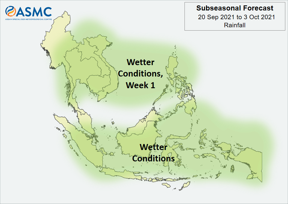
Wetter conditions are expected to continue over much of the Maritime Continent in the next fortnight (20 September – 3 October), with the highest probability for wetter conditions over parts of the southeastern Maritime Continent.
Wetter conditions are also expected in Week 1 (20 – 26 September) over most parts of Mainland Southeast Asia as well as the northern half of the Philippines. The wetter conditions over northern Philippines and northern Viet Nam are highly dependent on tropical cyclone development.
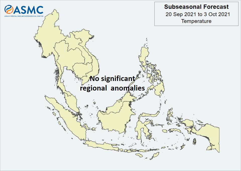
No significant regional temperature anomalies are expected in the next fortnight (20 September – 3 October).
A Madden-Julian Oscillation (MJO) signal was present over the Indian Ocean (Phase 3) in the middle of September based on the RMM Index. Most models predict this signal to weaken and become indiscernible around the start of the forecast period.
The outlook is assessed for the region in general, where conditions are relative to the average conditions for the corresponding time of year. For specific updates on the national scale, the relevant ASEAN National Meteorological and Hydrological Services should be consulted.