
Subseasonal Weather Outlook (10 – 23 January 2022)
Issued 7 January 2022
First forecast week: 10 January – 16 January
Second forecast week: 17 January – 23 January
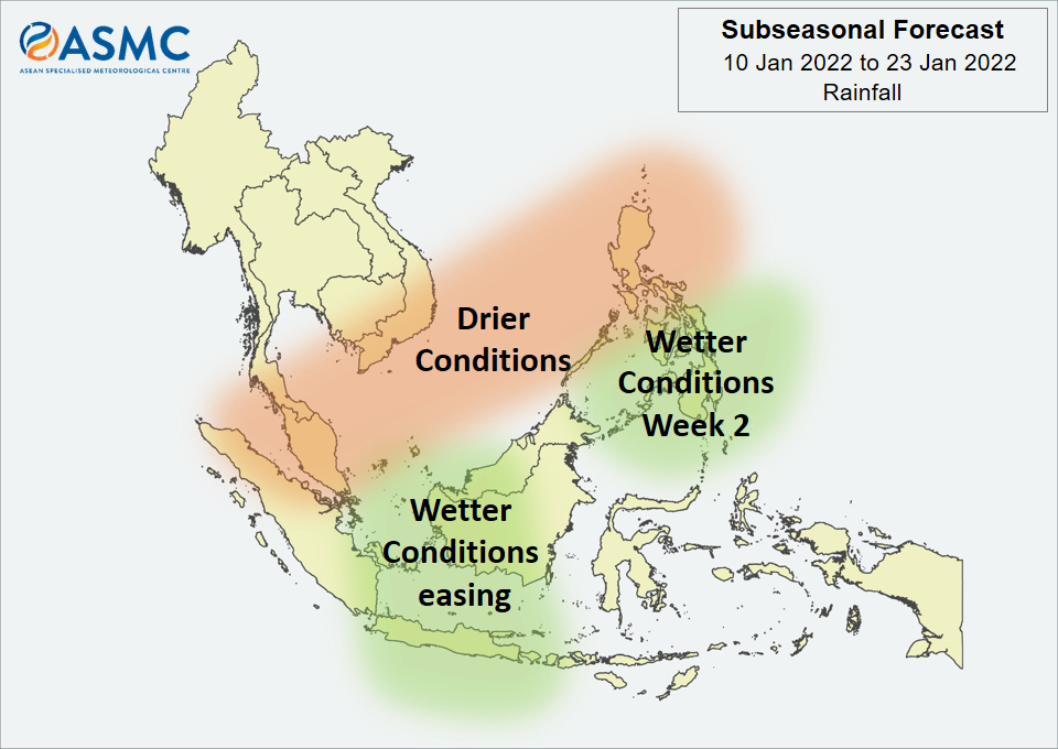
Drier conditions are predicted in the next fortnight (10 – 23 January) over a band that includes the Malay Peninsula, southern Viet Nam, and much of the northern Philippines and surrounding area.
Wetter conditions are predicted in Week 1 (10 – 16 January) over central parts of the Maritime Continent (in particular for western Borneo and Java). These wetter conditions are expected to ease in Week 2 (17 – 23 January), although there is a chance that they remain over the region around Java. Also in Week 2, wetter conditions are predicted to develop over parts of the central and southern Philippines.
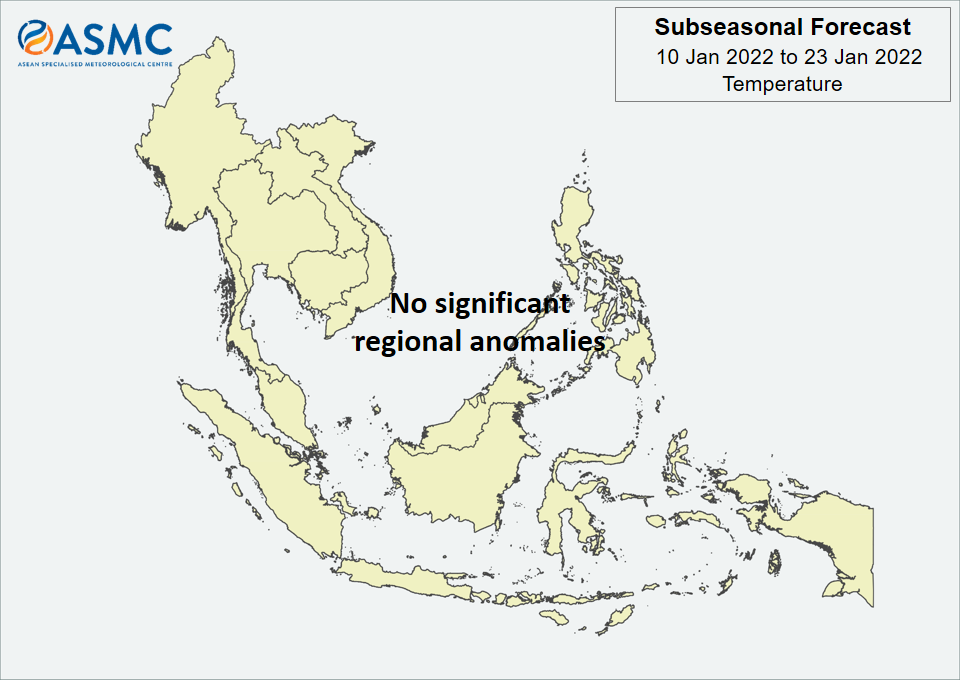
No significant regional temperature anomalies are expected in the next fortnight (10 – 23 January).
Based on the RMM index, a Madden-Julian Oscillation (MJO) signal was present over the Western Pacific (Phase 7) at the start of January, although the signal has been less coherent in part due to the background La Niña state. As with the previous outlook, while some models predict this signal to propagate slowly eastwards, others predict the signal to decay in Phase 7.
The outlook is assessed for the region in general, where conditions are relative to the average conditions for the corresponding time of year. For specific updates on the national scale, the relevant ASEAN National Meteorological and Hydrological Services should be consulted.